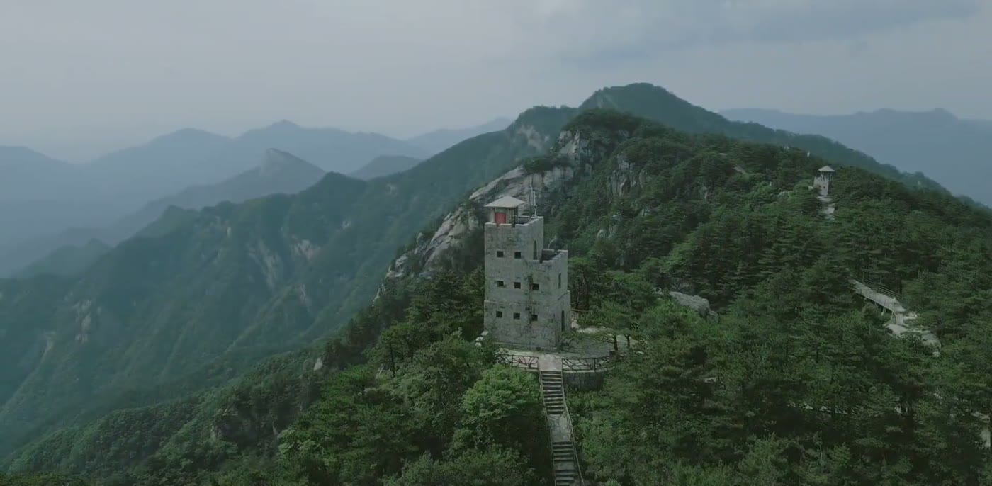
A forested summit just over 1,700 metres in the Dabie range, on the line between Anhui and Hubei. Rain falling on one side of this ridge reaches the Huai river and rain falling on the other reaches the Yangtze.
Quick Facts
The Short Version
What it is
A forested granite summit and ridge system with waterfalls, cliff paths and a cable car, inside a national forest park
Where
Jinzhai County, Lu'an, in western Anhui, directly on the Hubei border
Height
Just over 1,700 metres. Just one summit in the Dabie range stands above it
Two entrances
Anhui and Hubei each run a scenic area called Tiantangzhai on their own side of the same mountain, with separate gates and separate passes. Check which one the arrangement means
The watershed
The ridge is the divide between the Huai and Yangtze river basins
What it is for
Forest, water and cool air. This is a summer mountain in Chinese practice
Getting up
Cable car plus stepped paths and railed walkways, or on foot all the way
Time needed
A full day on the mountain, with a night at the foot
Why Go
Three Lines Along One Ridge
1. The rain divides here
The Dabie range runs northwest to southeast across the middle of China, and this ridge is the part of it that separates two river systems. Water off the northern slope collects into the Huai, which runs east across a flat, flood-prone plain. Water off the southern slope goes to the Yangtze. Standing on a mountain that decides that is a plainer version of a fact that shapes an enormous amount of Chinese history, agriculture and politics.
The same ridge carries the provincial boundary. Anhui is on the north side and Hubei on the south, and each province has built its own scenic area on its own slope, both called Tiantangzhai, with separate gates, separate passes and separate cable cars. The mountain is one mountain. The pass is not.
2. A range nobody could hold
Names here tell visitors what the terrain was for. Tiantangzhai means something like heaven stockade, and stockade names run all along this range. These hills sit at the corner of several provinces, far from every provincial capital, steep, wooded and hard to move large groups through, and for centuries that made them a place people went into rather than through.
It is why the range became a base area during the upheaval of the nineteen twenties and thirties, and why the county at its foot carries that history heavily in its museums and monuments. A foreign visitor will not have the names, and does not need them. The geography is the argument: the same isolation that put a provincial border and a watershed along this ridge is what made it useful to people who did not want to be found.
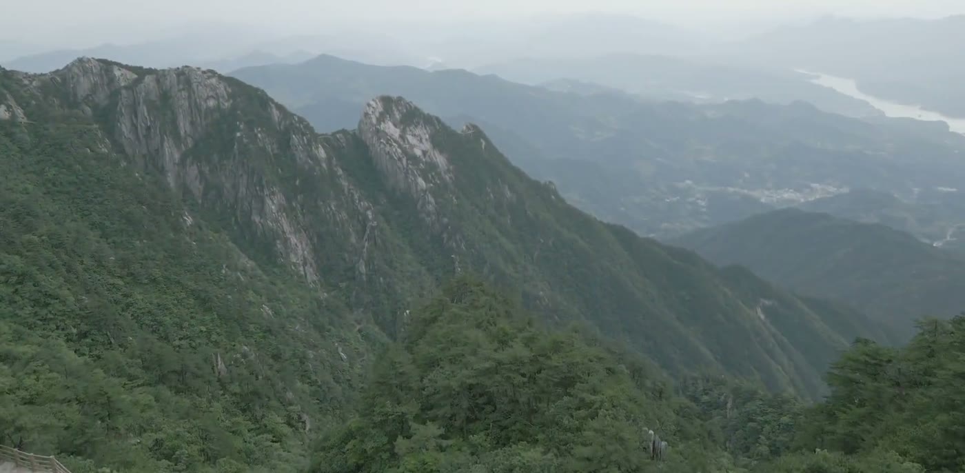
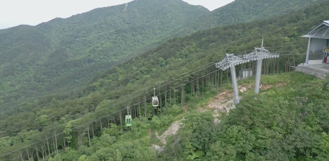
The high points are built up with towers and pavilions, which is the Chinese convention for a summit and gives visitors somewhere to stand. The haze behind is ordinary for the season.The drop is the point. The valley floor down there is where the villages and the reservoirs are, and the mountain rises about a kilometre above it in a short distance.The cable car carries many visitors over the lower forest. Walking up instead is possible and adds a couple of hours through the ideal of the woodland.
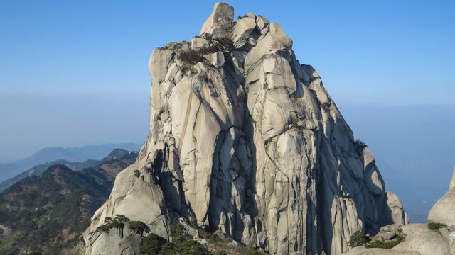
The catch. Summer, which is when Chinese visitors come, is also when the haze is thickest, and the long views in that season are grey rather than clear. The waterfalls that give the mountain its reputation need recent rain and can be thin. There is a cable car, a great deal of boardwalk and a lot of people on public holidays. If what visitors want from a Chinese mountain is rock and cloud, Mount Tianzhu is 83 km away and does that better.
Orientation
Which Side, and How Visitors Get Up
Decide the province before visitors book anything. The Anhui entrance is reached from Jinzhai and Lu'an and connects to Hefei; the Hubei entrance is reached from Luotian and connects to Wuhan. Both are three to four hours by road from their respective cities, and crossing from one side to the other is a long drive around rather than a walk over.
On the mountain, the cable car takes visitors much of the way up and the rest is steps and railed walkways across the granite. The gorge routes with the waterfalls run downhill from the ridge, so the usual plan is to ride up, walk the tops, then descend through the water and take transport back from the bottom.
Practical
Things Worth Knowing
Go up after rain
The waterfalls are the reason people come and they depend entirely on what fell in the preceding days. A dry week leaves the gorge routes looking ordinary.
Start early for the view
Haze builds through the day here in every season except winter. The long ridges are clearest in the opening two hours after sunrise.
Stay at the foot, not in the city
Guest houses and farm stays cluster at the mountain gate on both sides. Driving out and back from Lu'an or Wuhan in a day wastes the morning.
Check which Tiantangzhai
Two provinces, two scenic areas, one name. Travel sites are not always clear about which side a pass or a hotel belongs to.
Timing
When to Go
Season
The case for
The catch
Late September to November
Clear air, colour in the broadleaf forest and the water still running
The opening week of October is the national holiday and the mountain fills
June to August
Cool at altitude, full waterfalls and the season the mountain is built around
Heavy haze, heavy rain and the peak of the domestic season
April to May
Fresh forest, rhododendron on the upper slopes and few people
Cold nights and cloud sitting on the ridge for days
December to February
Ice on the cliffs and the clearest long views of the year
Cold, some routes closed and the cable car subject to wind
Context
Where the Dabie Range Sits
The Dabie mountains stand between two of a particularly heavily populated flat landscapes in China: the Huai plain to the north and the middle Yangtze basin to the south. Everything around them is farmland and cities. The range itself is a wooded block roughly 380 km long with peaks in the 1,500 to 1,800 metre band, and it interrupts the traffic, the weather and the administration of the whole region.
Because it interrupts the weather, it is wet. Summer monsoon air pushing north runs into these slopes and drops its rain, which is why the forest is dense, why there are waterfalls, and why the mountain is cool enough in July to be worth several hours of driving to people living in Hefei and Wuhan.
Because it interrupts the administration, the boundaries of Hubei, Henan and Anhui all meet inside it. That is a normal way for Chinese provincial lines to be drawn, along the ridges where nobody farms. The consequence for a visitor is the doubled scenic areas, and the consequence historically was a region that central authority reached late and held loosely.
Lu'an is the Anhui prefecture the mountain belongs to and the administrative answer, but it is not where visitors should sleep. It is three to four hours by road from the gate, and the farm stays and guest houses at the foot of the mountain are both closer and better suited to an early start.
For getting into the area, Hefei is the airport and high-speed hub on the Anhui side and Wuhan on the Hubei side. Wuhan is the easier arrival for many foreign visitors and turns this into a two-night trip out of a city worth a couple of days in its own right.
Experiences
What Visitors Can Actually Do Here
On site · full day
Up by cable car, down through the gorge
The ridge paths and the summit towers at the start, then the descent past the falls. Six to seven hours at a walking pace with stops.
Cable car and entry are separate passes.
On site · 2 hr
The walk up instead
Forest the whole way, and the part of the mountain the cable car flies over. Worth it if visitors would rather see trees than ridgelines.
Adds roughly two hours each way.
Guided · 3 days
Wuhan and the Dabie edge
The city, then two nights at the mountain with a driver who knows which side the road is on and when the falls last ran.
Worth two days if visitors are already in Hubei or Anhui and want forest and water rather than rock and cloud. Go after rain, sleep at the foot, start before the haze builds, and settle which province the pass is for before visitors leave. The thing to carry away is the ridge itself: a line drawn by water that two provinces then drew their border along, and that a lot of people once went up into precisely because it was nobody's.
Travelling to China with 10 or more people? Talk to PreeChina first. A transparent service fee of USD 100 per person for trips of up to 10 days (USD 150 for 11 to 20 days), and no markup on travel components. See how the fee works.
Share the travel dates and where visitors are flying into, and our local team will pick the province, book the farm stay at the gate and time the gorge walk for when the water is actually running.